
Walk a Richmond County Street
A street search starts with one verified point, not a list of names. Augusta Maps connects a physical address to parcel geometry, a property card, current or prior tax-year data, and an owner. That establishes ownership, not every person who stays there. From that point, the Richmond County street directory can move sideways to adjoining lots or backward through deeds. Voter and directory records may add dated evidence of residents, but each has gaps.
Keep the parcel identification number, or PIN, and legal description with every result. Street numbers and spellings may shift, while the lot, block, subdivision, and deed citation give a firmer link. Use this order:
- Enter a house number and a distinct road fragment in Augusta Maps. Choose the exact parcel site-address result.
- Open the card, record the PIN, owner, site address, mailing address, homestead code, and tax year.
- Zoom along the road. Use Add mode to select more parcels, and Remove mode to correct a selection.
- Search each owner and deed citation through GSCCCA, then use a lawful voter product only for registration evidence.
- For older occupants, consult the address sections in successive Augusta directories at the Georgia Heritage Room.
No single step proves a complete household. A sound street-by-street result states what each record actually says and when it said it.
Search Richmond County Street Fields
The official Augusta Maps property search accepts an owner, road, parcel number, or street address. Its All Fields setting is useful for a first pass, but one phrase may match buildings, suites, or other layers. Select the result labeled as a parcel site address, then inspect its details. The first hit is not always the right land record.
| Map control | Input | Use on a street | Required |
|---|---|---|---|
| Search Field | Layer or field selector | Start with All Fields, then narrow | No |
| Search | Owner, road, PIN, or address | Partial address terms are accepted | Yes |
| Previous Search | Query history | Returns to an earlier road query | No |
| Selection Mode | New, Add, Remove | Builds or corrects a parcel set | No |
| Result list | Matching feature | Highlights and opens descriptive data | Select one |
| Download CSV | Selected features | Saves a researched parcel set | No |
The January 2024 Augusta Maps guide also documents Map Layers, Info, Measure, Print, and mailing-label output. Export is a research convenience. It neither proves that an owner occupies a house nor permits unwanted contact.
The official Augusta Maps launch page gives Richmond County street researchers the local property-search entry point.
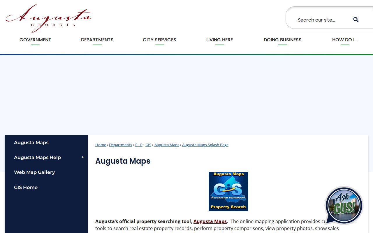
The pictured county page confirms that parcel and property details belong in Augusta Maps before a street trail moves to deeds or voter records.
Richmond County Street Terms
Three labels that look alike answer different questions in the Richmond County street directory. Reading them correctly prevents a tax mailing address from being presented as someone’s home. The legal description is especially useful when road names, unit labels, or parcel boundaries have changed.
- Parcel
- A mapped tract of land identified by a PIN. One street address can involve more than one parcel.
- Situs address
- The physical location assigned to the land or building.
- Mailing address
- Where the tax office sends correspondence. It may be outside Augusta or belong to an entity.
- Plat
- A recorded survey or subdivision map that shows lots, lines, and related references.
- Criss-cross directory
- A directory arranged by street and house number instead of only by surname.
A homestead code is stronger evidence that an owner occupies a parcel, but it remains a clue tied to a tax year. It is not a roll of spouses, children, roommates, or other residents.
Note: Preserve both the tax year and parcel status whenever a Richmond County street search is saved or shared.
Browse Richmond County Streets
Text search finds matches across the map. Map browsing shows which lots actually touch. After selecting the target, zoom to the road and click outward with the Info tool. Add mode keeps earlier selections, while New replaces them. Remove takes out a wrong feature. This distinction matters when the street name also appears in more than one layer.
Current adjacency also requires a status check. Augusta’s parcel service keeps deleted polygons but marks them Retired. Those shapes can explain an older subdivision or lot split, yet they should not appear as current lots in a street directory. The geometry changes as final plats are processed.
Selected features can be downloaded as CSV or made into mailing labels. Use the export to compare PINs, legal descriptions, site addresses, acreage, neighborhood, tax district, and values. The parcel REST service has a documented maximum of 15,000 records, though a careful road search should be far narrower.
Richmond County Street Record Layers
Address records are held by different Augusta-Richmond County and Georgia custodians. Property cards and maps are free to view. Deed address modes may require a premium GSCCCA account, while the basic owner-name and book-page path is the practical alternative. Voter files are ordered from the state and carry strict use limits.
| Street source | Official keeper | Evidence returned | Access route |
|---|---|---|---|
| Property roll | Board of Tax Assessors | Owner, situs and mailing data, value, homestead clue | Free Augusta Maps card |
| GIS parcel map | Augusta GIS | PIN, parcel shape, nearby lots, tax district, neighborhood | Free map browsing |
| Deeds, liens, plats | Superior Court Clerk and GSCCCA | Parties, recording data, legal description, book and page | Name/book-page search; account terms |
| Voter list | Secretary of State and Board of Elections | Registered voters by split residence fields | Paid state product; restricted use |
| Permits and code files | Planning and record custodian | Existing address-keyed work and case records | Narrow open-records request |
| City directories | Georgia Heritage Room | Dated occupant or business entries where an address section exists | Onsite or limited lookup |
The PIN and legal description tie the assessor layer to deeds and plats. Street components connect those sources to the voter file, permits, and directories, but spelling and dates still need to agree. For fragile early volumes and full historical shelf details, use the Richmond County city directory collection rather than assuming continuous street coverage.
The Georgia Department of Revenue property-record directory confirms which county office supplies the official property search.
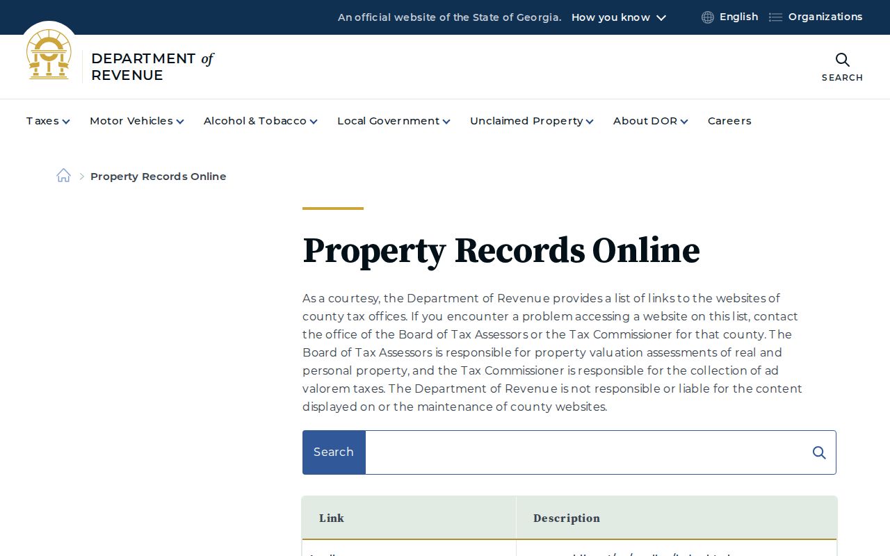
This state directory routes Richmond County users back to Augusta, which helps distinguish the local custodian from a third-party property site.
Follow a Richmond County Street
Once Augusta Maps supplies an owner and legal description, the GSCCCA search menu carries the trail into recorded real estate. Search the current owner as a grantee, meaning the party receiving an interest. Open the acquisition deed and write down the grantor, grantee, recording date, instrument or deed book and page, and legal description. Then search the grantor as an earlier grantee.
GSCCCA separates deed, PT-61 transfer, lien, and plat indexes. A hit in one is not a substitute for another. Once found, book and page are stable retrieval keys. The public landing page does not publish Richmond County’s oldest online deed date, and address or map modes are advertised as premium. At the digital boundary, take the last citation to the Clerk of Superior, State and Juvenile Court and ask for physical grantor-grantee books.
The eCertification service can deliver a secured certified PDF after clerk processing. The Clerk counter and Georgia Archives remain access channels for older material. A recorded date is the clerk’s indexing date, which can differ from execution or sale dates.
Richmond County Street Voter Records
Georgia’s My Voter Page is an identity-gated tool for a person’s own registration, polling place, districts, sample ballot, and participation details. It is not a browseable street directory. Street analysis instead uses the Secretary of State voter-list product, obtained and used within state law.
The file splits a residence into number, direction, street name, street type, post-direction, unit, city, and ZIP. Mailing components are separate. It also includes registration status, dates, precincts, and district fields. Use residence fields for geography. A mailing address is only correspondence data. Georgia voters do not register by party, and participation history never reveals a ballot choice.
A Richmond County list costs $70 under the published schedule effective July 1, 2024. Smaller district and precinct products also exist. Delivery is electronic, with a current estimate of about two weeks and no expedited or custom orders. Commercial use is prohibited by O.C.G.A. § 21-2-601. VoteSafe removes qualifying protected residence addresses, and those blank spots must remain private.
Note: Registration is dated evidence at a reported residence, not proof that a voter is physically present today.
Request Richmond County Street Records
Permit and code records can show work tied to an address, along with an applicant or owner where the released record contains one. The official sources did not state a complete online coverage date. Search the available map layer, then use an existing record’s address and date range to frame a narrow request to Planning and Development or the proper Augusta custodian.
The Augusta open-records portal can route requests to general departments, including Tax Assessor, Tax Commissioner, GIS or IT, and Planning. It cannot supply deeds, court files, probate records, or vital records. Those must go to their constitutional custodian. Under the Georgia Open Records Act, O.C.G.A. §§ 50-18-70 through 50-18-77, an agency must produce available records within three business days or state what exists and give a timetable. That is not always a completion deadline.
Ask for an existing permit or case by street address, record type, and a useful date span. The agency need not create a custom street history. Request an electronic format and a cost estimate when retrieval may be broad.
The official Augusta permit parcel layer documents how permit information is keyed to mapped property features.
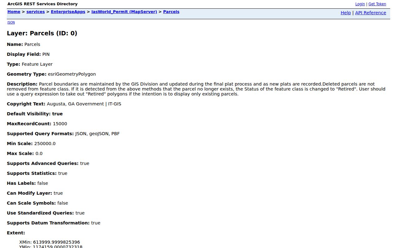
The layer is a technical access point, so use its address evidence to frame a precise request rather than assuming it contains every permit file.
Richmond County Streets in Directories
The Georgia Heritage Room holds Augusta city directories from 1841 forward. Editions with a reverse or street section let a researcher read house numbers in sequence, then check each entry in the name section. Keep the edition year, publisher, page, and abbreviations. The publication year may lag the date when canvassers collected the facts.
Coverage is not even. Runs before 1870 have gaps, and African American residents begin appearing in the collection’s directories only in 1872. A missing entry cannot prove that a person was absent. Fragile early books are served on microfilm, and recent decades remain in bound volumes. The Georgia Room can also pair a street with census microfilm, newspapers, maps, and locally made indexes.
This historical layer should confirm an older address, not be blended into a current owner list. If one name and one to five directory years are known, remote researchers can ask the Georgia Room about its $5 ready-reference lookup. Staff do not promise extensive family-tree research.
Richmond County Street Directory Limits
A parcel roll names owners, not all residents. Nearly every address-based source has a similar boundary. Property data does not list renters, children, roommates, utility customers, or delivery recipients. A deed proves a recorded legal relationship. A voter record covers registered voters who are not protected. A directory is a dated publication that may omit whole groups.
Motor-vehicle customer addresses are restricted by the federal Driver’s Privacy Protection Act. VoteSafe shields residence addresses for eligible people facing family violence or stalking risk and for qualifying shelter residents. Never try to fill those deliberate gaps through private club, congregation, watch, or association rosters.
Commercial neighbor tools can merge old data and same-name people. Official records are slower and narrower, but they identify the custodian, date, and record role. Correct an error with the assessor, Clerk, Elections office, or other originating agency.
Lawful use. Richmond County address records may support family history, property research, and civic inquiry. Never use them to stalk, harass, intimidate, or harm another person.
A careful Richmond County street directory labels owners as owners and residents only when a dated resident source supports that statement. Uncertainty is part of an honest result.